
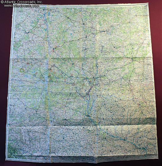
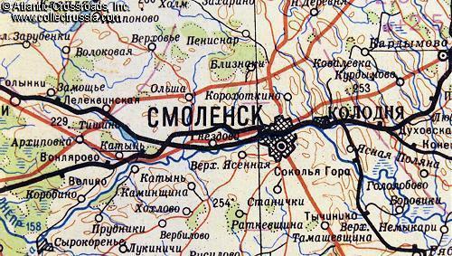
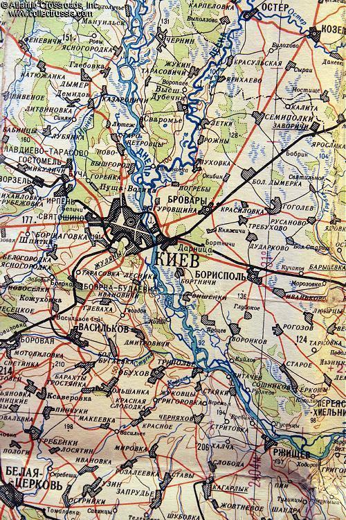
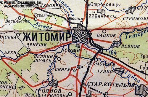
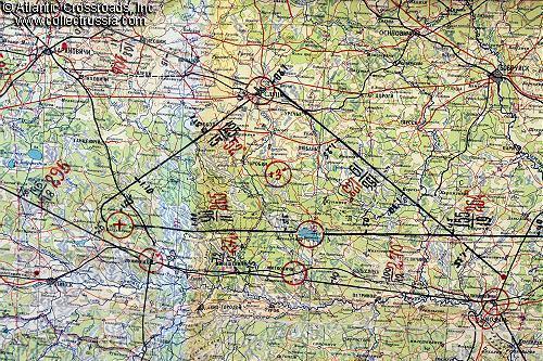
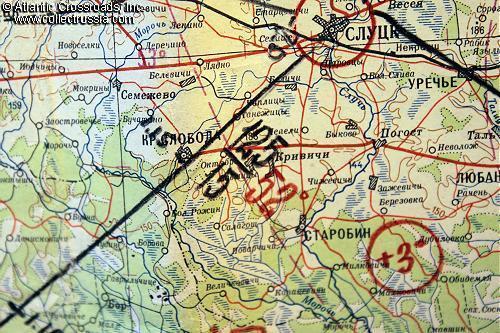
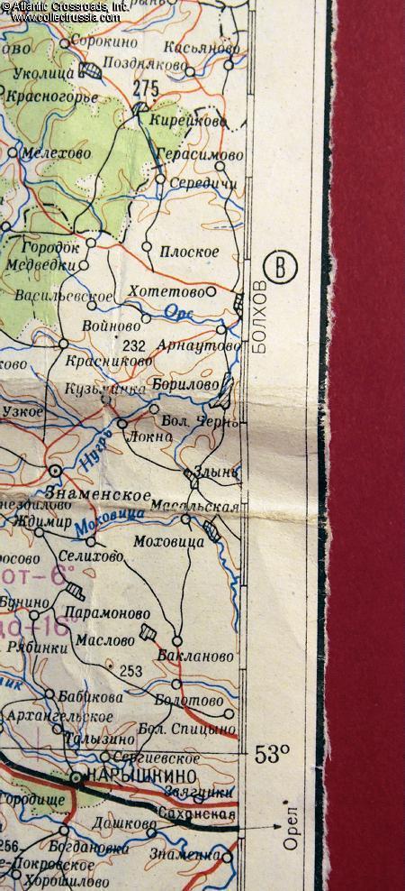
Map showing large area of Ukraine including Smolensk, Zhitomir, Kiev, etc.
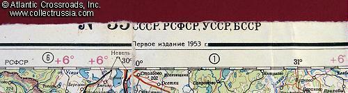
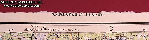
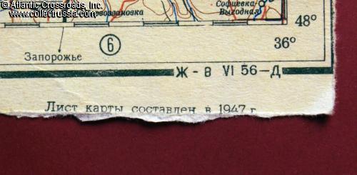
31-36" wide, 37" in height. Excellent quality, it is not until you carefully inspect the back that it becomes apparent that it is printed on four separate sheets of paper carefully glued together. Printed in March 1953 based on an immediate post-war map composed in 1947. Scale may be 1:200000 but the margins have been almost entirely removed, so it cannot be determined accurately. Numerous un
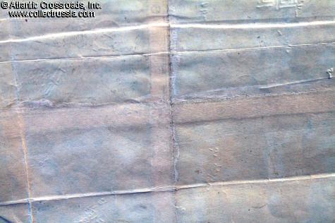
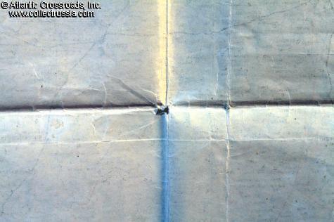
31-36" wide, 37" in height. Excellent quality, it is not until you carefully inspect the back that it becomes apparent that it is printed on four separate sheets of paper carefully glued together. Printed in March 1953 based on an immediate post-war map composed in 1947. Scale may be 1:200000 but the margins have been almost entirely removed, so it cannot be determined accurately. Numerous unknown tactical markings at various locations - it seems that an officer took this on field exercises and, to make it better fit into his map case, meticulously removed the margins on all four sides.
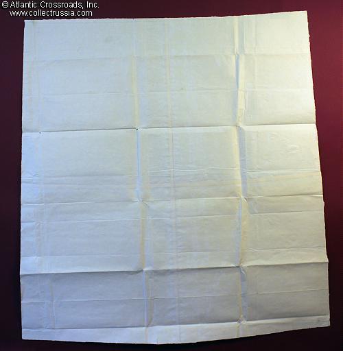
Condition is very good, slightly wrinkled overall but solid. A few pin holes where the folds intersect.
For the WW2 scholar, this map provides a wealth of information at a fraction of the investment that a similar map dated 1945 or earlier would cost.
$120.00 Add to cart